Discover the new guide on monitoring and forecasting by GOOS
GOOS released a new guide titled “Implementing Operational Ocean Monitoring and Forecasting Systems”. This document is a new reference for operational oceanography, covering key areas of ocean monitoring and forecasting systems and focusing both on their current state of the art as well as their future developments.
“This technical guide sets a new highly-needed standard in digital oceanography. It will facilitate completion of the new, fuller value chain of modern operational ocean data processing and forecasting systems,” says Vladimir Ryabinin, the Executive Secretary of the Intergovernmental Oceanographic Commission (IOC) of UNESCO.
Initiated at the request of the Intergovernmental Oceanographic Commission of the UNESCO (IOC-UNESCO) and the World Meteorological Organization (WMO), and funded by GOOS and Mercator Ocean International, it is the fruit of cooperation between 80 expert authors from 18 countries worldwide.
Promoting and implementing marine forecasting systems
The guide aims to promote the development of new marine forecasting systems around the globe as well as advance the implementation of existing ones. It provides an overview of the entire value chain of an operational ocean monitoring and forecasting system as well as international standards and best practices for setting up such a service.
A unique and comprehensive reference document for the operational ocean modelling community
This best practice and technical guide covers key areas of ocean modelling. It gives new and existing systems careful guidance focused on current state of the art in operational ocean modelling and an outlook of future developments.
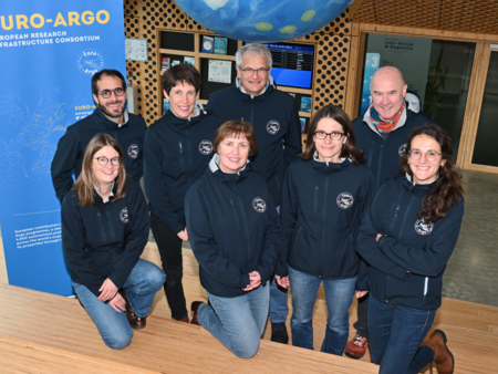
A strong importance of Argo and it’s European component Euro-Argo
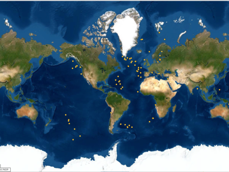
In this 380-page guide, Argo is mentioned nearly a hundred times. Thus, Argo has become a key element supporting operational activities combine with other in-situ observations. It’s therefore important for Euro-Argo to continue collaboration with other Marine RIS to provide interoperable data service with other ocean observation networks.
Read the full guide here - GOOS news here.
What you will find in this guide
- Chapter 2 to 4 are dedicated to the description of:
- the activities of the Expert Team on Operational Ocean Forecasting Systems (ETOOFS), with a special focus is made on Copernicus Marine Services ;
- the various temporal and spatial scales involved in ocean modelling, explaining the differences between products derived from large time scales runs (such as re-analysis and scenarios) and forecasting services;
- the common aspects to all ocean forecasting systems, explaining the basics related to system architecture (inputs, execution, outputs, etc.), quality control and products;
- the importance of in situ observation (in particular Argo) to complement satellite data.
- Chapter 5 to 9 aim to make understandable, even for non-expert readers, all theoretical and practical basis to properly set-up a forecasting system for a given variable (depending on circulation modelling, sea-ice, sea level and storm surge modelling, wave modelling, biogeochemical modelling).
- Chapter 10 is dedicated to coupled predictions (integrated atmosphere–wave–ocean forecasting).
- Chapter 11 refers to downstream applications, dealing with the way the output data from models are transformed into tailored information for the end user.
- Finally, Chapter 12 addresses challenges and future perspectives in ocean prediction. In particular it mentions the importance of sustaining in situ network such Argo with a global coverage of biogeochemical and deep measurements.

